home
***
CD-ROM
|
disk
|
FTP
|
other
***
search
/
Chip 2004 March
/
Chip_2004-03_cd1.bin
/
tema
/
gpsweb
/
BlueChartMajak.gif
< prev
next >
Graphics Interchange Format
|
2002-10-31
|
28KB
|
235x339
|
4-bit (12 colors)
Labels:
clock
|
crt screen
|
monitor
|
plant
|
road
|
sky
|
stairs
|
web site
|
window
OCR:
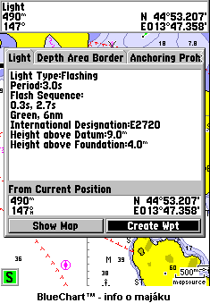
Light 490m N. 44 53.207 E013 47.358 Light Depth Areg Border Anchorins Proh: Light Type:Flashing Period:3.0s Flash Sequence: 0.3s. Green, 6nm International Designation:E2720 Height gbove Datum:9.0" Height above Foundotion:4.0 From Current Position 490 N 44o 53.207 147 E013 47.358 Show Map Creote Wpt 500 mapsource BlueChart info o majaku Areo Flashins Designg tion Heigh Foundation Create BlueGhartn iofo maiaku