Mixed color corresponds with numeric value
Brief description:
All layers were digitized by means of program siGGisLT.
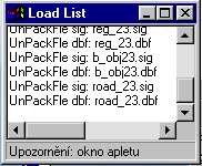
When is applet loaded correctly the Load List window will be hide otherwise stay on screen and can contain Error Info.
(When is found any Exception or the applet was not start - reload document with applet! ).
The project has one level:
The geoObjects are colored by numeric database values( field ID). It is defined range of color (e.g.: white to teal, yellow to red, aqua to navy) for single layer.