| Rivers |
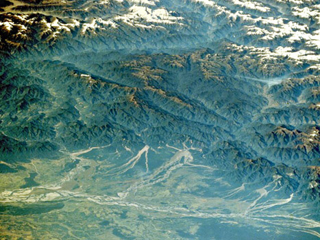
| When the ground becomes saturated with water, surface runoff results, with water flowing over the Earth's rocks and regolith. Stream networks result, providing a conduit for the water and a mechanism for erosion of the landscape. Weathered rock debris is transported in the stream flow, scouring out deep V-shaped channels in fast-moving streams in upland areas. Erosion rates are greatest in high upland areas where rivers quickly transport sediment to lower altitudes. The Himalayan Mountains and Tibetan Plateau, comprising 5% of the land surface, is the source of 25% of the sediment input to the worlds' oceans.
The Brahmaputra River creates a floodplain in the broad Assam Valley, one of the wettest places on Earth.
The Fraser River has deposited a large sedimentary delta on the Pacific coast of North America. In lower land, where the stream flow is reduced, some of the sediment load is deposited, perhaps blocking the river and changing its course, producing features such as alluvial fans at the base of cliffs, meanders and oxbow lakes on flood-plains, and braided channels within the riverbed itself.
The Mississippi River with oxbow lakes - evidence of its former stream channels.
The River Congo splits into many streams as it flows across its very flat basin. When low land with a mature, meandering river is uplifted, the river flows faster due to its increased gravitational potential energy, and can start to cut down once again. The Grand Canyon in North America is an example of such a rejuvenated river, containing many incised meanders, which have cut 1600 metres down through the underlying rock strata. |


| Links | ||||||
|