Builds a 3D Terrian model from an image map.
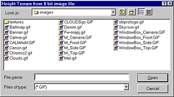
Choose the desired 8 bit image file to use to build the 3D Terrain model.
Define the mesh density as low, medium, or high.
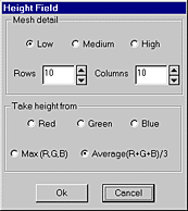
The number of rows defines the x density and the number of columns defines the y density of theTerrain mesh.
The Z (height) of the mesh is proportional to the color or luminance content in the image.
The Terrain is inserted with its center at the placement of the 3D Cursor.