| |
|
|
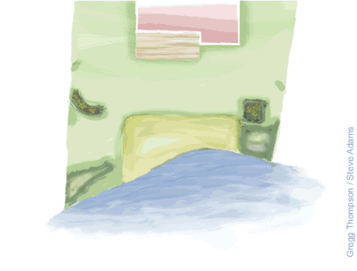
Creating a Base Map You're ready to move on from talking about lakes in the abstract to talking about your own lake. We'll begin by selecting tools for your Project Folder. One of the most important steps in the entire process is the creation of the Base Map. In effect, it sets the physical parameters - and you will be referring to the Base Map throughout the project. Base Map
This is a rough drawing of your lakeshore area including existing site conditions, measurements, and other information. If you have house plans or plat maps on file, use these as a base to create a site sketch. Scale Map TIP: The more accurate your initial field measurements are, the more accurate your map will be, and the easier it will be for planning.
|